
 English
 Español
 Deutsch
 日本語
日本語 Polska
 Français
 中國
中國 한국의
한국의 Українська
 Italiano
 Nederlands
 Türkçe
 Português
 Bahasa Indonesia
 Русский
 हिंदी
हिंदीHawaii Topographic Map STL Model Modèles 3D en vedette


- Formats disponibles: Stereolithography: stl 289.92 MB
- Collection:No
- Largeur en millimètres:242.231
- Hauteur en millimètres:5.171
- Profondeur en millimètres:157.076
- Prêt à imprimer:
- 3D Balayage:No
- Contenu adulte:No
- PBR:No
- IA Formation:No
- Vus:674
- Date: 2024-10-20
- ID de produit:536520
- Rating:
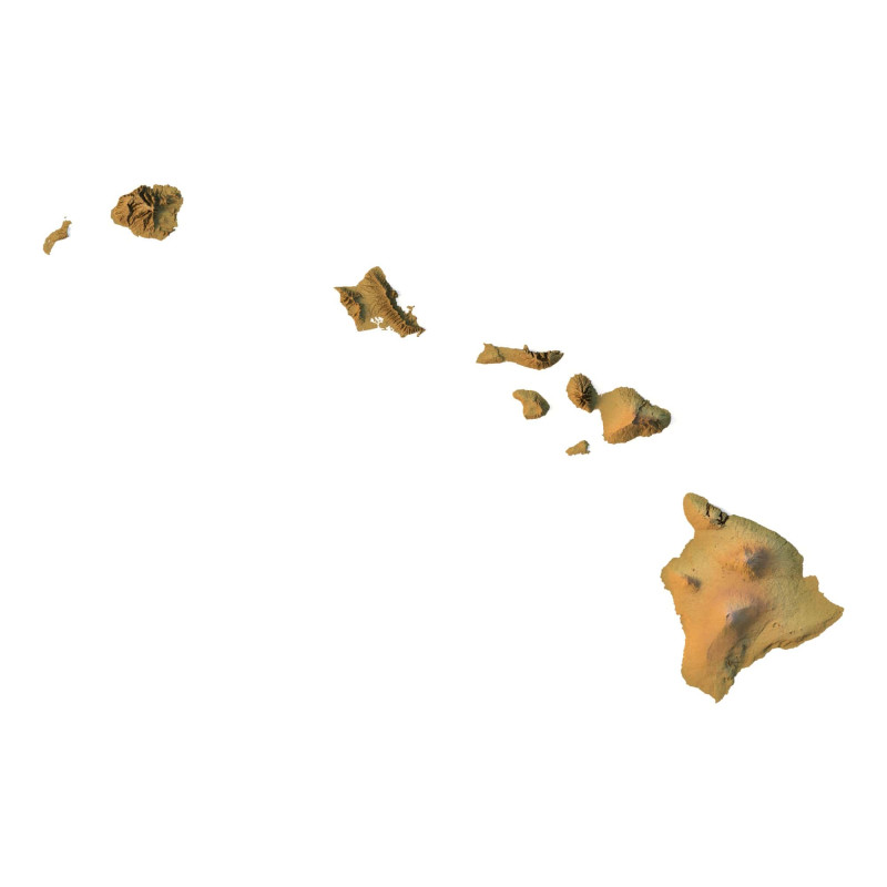
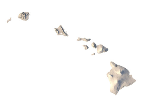
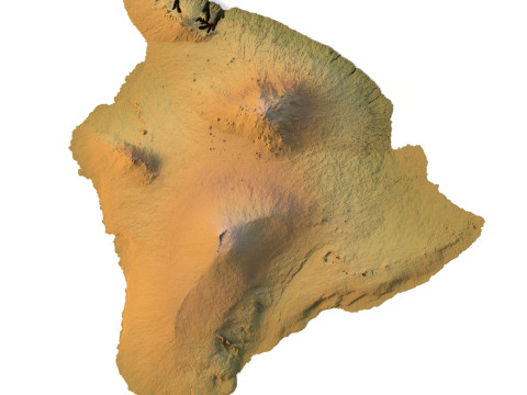
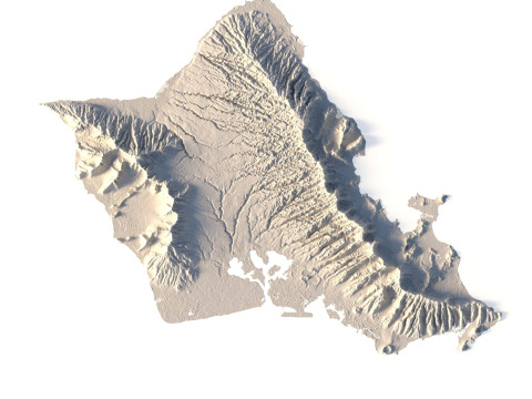
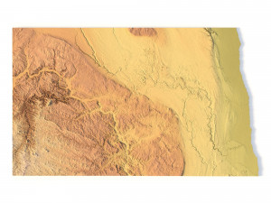
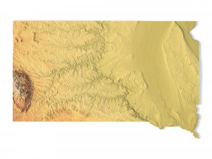
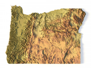
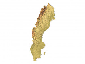
Create Detailed Hawaii Terrain Models with This 3D STL File
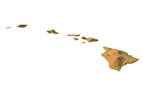
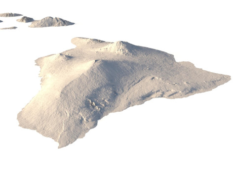
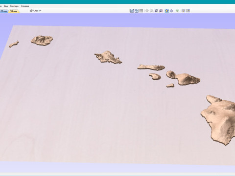
The Hawaii Topographic Map STL model captures the unique island elevation and topographic features of the Hawaiian Islands. This 3D model is ideal for creating relief models from wood, metal, plastic, or concrete. Designed for professionals and hobbyists alike, this model is perfect for landform visualization, educational projects, or geographic studies. Whether for the Big Island or other regions, this file provides detailed geospatial data for accurate terrain representation.
- File size: 451 MB / 400 MB
- Model size: 242.231 mm х 157.076 mm х 5.171 mm
- Resolution: 0,026 mm
- Projection: Mercator
- Scaling factor: X — 1; Y — 1; Z — 3
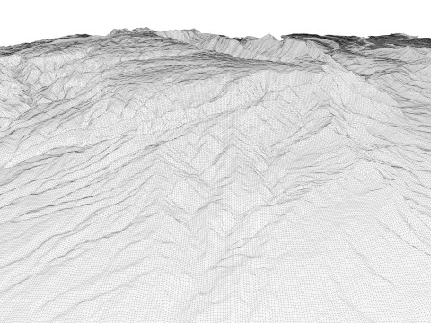
- Polygons: 9 470 750
- Vertices: 4 753 696
- Geometry: Polygonal Tris only
- Base: Open / Closed
Features of the Hawaii Topographic STL Model
Compatible with FDM/SLA 3D printers for terrain model creation.
Supports CNC machining for wood and metal topographic models.
High-precision laser engraving for metal surfaces.
Si vous avea besoin d’\autre format veuillez ouvrir un billet d’\assistance et demandez le. Nous pouvons convertir les modèles de 3D en: .stl, .c4d, .obj, .fbx, .ma/.mb, .3ds, .3dm, .dxf/.dwg, .max. .blend, .skp, .glb. Nous ne convertissons pas les scènes 3D et des formats tels que .step, .iges, .stp, .sldprt.!
Télécharger Hawaii Topographic Map STL Model Modèles 3D en vedette stl De sychev23021983
hawaii topographic topo usa state america map landscape terrain country relief geography mountain stl cncProduits liés De Hawaii Topographic Map STL Model


