English
 Español
 Deutsch
 日本語
日本語 Polska
 Français
 中國
中國 한국의
한국의 Українська
 Italiano
 Nederlands
 Türkçe
 Português
 Bahasa Indonesia
 Русский
 हिंदी
हिंदी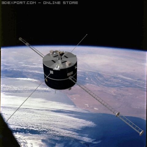


- Formats disponibles: Wavefront OBJ: obj 1.55 MBDirectX: x 1.56 MB3DS MAX all ver.: 3ds 1.51 MBArchiCAD (native): dxf 1.55 MB
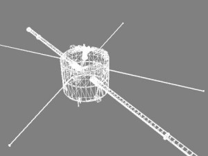
- Polygones:7098
- Sommets:3619
- Animé:No
- Textures:
- Installé:No
- Matériaux:No
- Géométrie:Polygonal
- Vus:5425
- Date: 2010-01-28
- ID de produit:22094
- Rating:
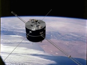
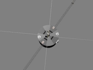
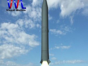
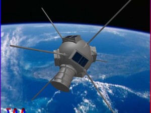
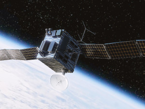
as part of the international solar-terrestrial physics (istp) sceintific satellite project, geotail mission studied the dynamics of the earth's magnetotail. medium (600x400) and high res (1200x800) texture maps.
En savoir plusAvez besoin de plus de formats?
Si vous avea besoin d’\autre format veuillez ouvrir un billet d’\assistance et demandez le. Nous pouvons convertir les modèles de 3D en: .stl, .c4d, .obj, .fbx, .ma/.mb, .3ds, .3dm, .dxf/.dwg, .max. .blend, .skp, .glb. Nous ne convertissons pas les scènes 3D et des formats tels que .step, .iges, .stp, .sldprt.!
Si vous avea besoin d’\autre format veuillez ouvrir un billet d’\assistance et demandez le. Nous pouvons convertir les modèles de 3D en: .stl, .c4d, .obj, .fbx, .ma/.mb, .3ds, .3dm, .dxf/.dwg, .max. .blend, .skp, .glb. Nous ne convertissons pas les scènes 3D et des formats tels que .step, .iges, .stp, .sldprt.!
Télécharger nasa geotail satellite Modèle 3D obj x 3ds dxf De VisualMotion
nasa isas earth magnetic satellite space sensor magentoshpere orbit observation truespace cob dxf directx obj 3ds visualmotionAucun commentaires sur ce produit.
Produits liés De nasa geotail satellite

3ds max blend dae fbx max obj ply stl
apilch
Real Spacecraft