English
 Español
 Deutsch
 日本語
日本語 Polska
 Français
 中國
中國 한국의
한국의 Українська
 Italiano
 Nederlands
 Türkçe
 Português
 Bahasa Indonesia
 Русский
 हिंदी
हिंदी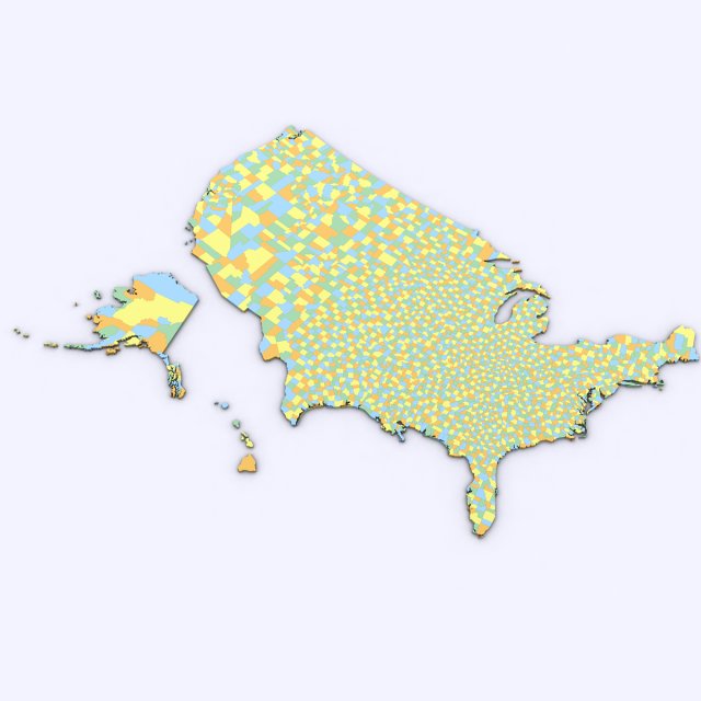


- Formats disponibles: 3DS MAX all ver.: 3ds 18.23 MB3DS MAX ver.2010: max2010 14.67 MB
Render: StandardWavefront OBJ: obj 23.64 MB
- Polygones:470658
- Sommets:241917
- Animé:No
- Textures:
- Installé:No
- Matériaux:
- Bas-poly:No
- Collection:No
- cartographie UVW:No
- Plugins Utilisé:No
- Prêt à imprimer:
- 3D Balayage:No
- Contenu adulte:No
- PBR:No
- Géométrie:Polygonal
- UVs non enveloppés:Unknown
- Vus:3583
- Date: 2016-05-01
- ID de produit:119840
- Rating:
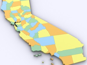
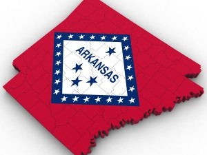
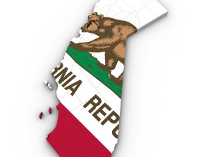
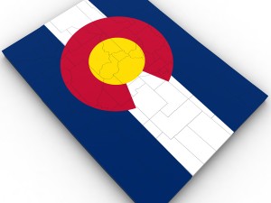
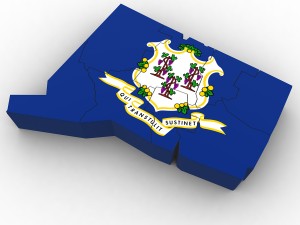
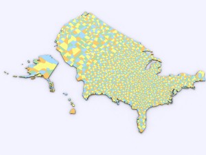
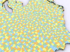
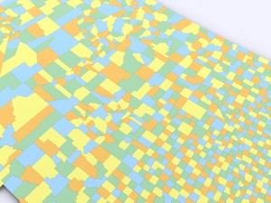
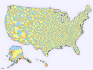
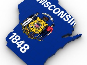
3d model of the political map of the united states. map includes every county in the entire united states.
all counties are grouped by the state they are in for easy navigation.
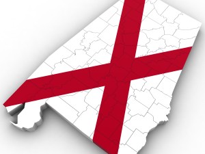
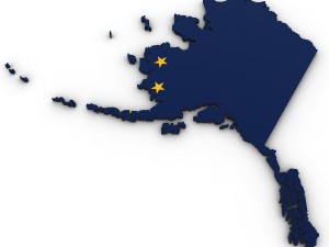
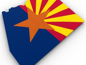
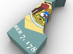
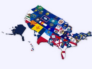
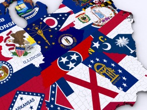
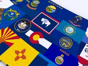
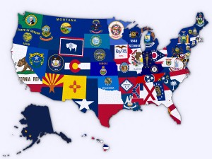
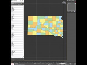
modifier stack is uncollapsed allowing for easy change of the extrusion of each county. product also includes a version that features a high resolution image of the flag of each state.
includes over 3,000 counties in the united states.
En savoir plusall counties are grouped by the state they are in for easy navigation.
modifier stack is uncollapsed allowing for easy change of the extrusion of each county. product also includes a version that features a high resolution image of the flag of each state.
includes over 3,000 counties in the united states.
Avez besoin de plus de formats?
Si vous avea besoin d’\autre format veuillez ouvrir un billet d’\assistance et demandez le. Nous pouvons convertir les modèles de 3D en: .stl, .c4d, .obj, .fbx, .ma/.mb, .3ds, .3dm, .dxf/.dwg, .max. .blend, .skp, .glb. Nous ne convertissons pas les scènes 3D et des formats tels que .step, .iges, .stp, .sldprt.!
Si vous avea besoin d’\autre format veuillez ouvrir un billet d’\assistance et demandez le. Nous pouvons convertir les modèles de 3D en: .stl, .c4d, .obj, .fbx, .ma/.mb, .3ds, .3dm, .dxf/.dwg, .max. .blend, .skp, .glb. Nous ne convertissons pas les scènes 3D et des formats tels que .step, .iges, .stp, .sldprt.!
Télécharger Us political map with counties Modèle 3D 3ds max2010 obj De Plutonius
united states usa map county state america nation country political detailedAucun commentaires sur ce produit.